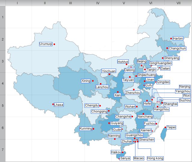
Geography and climate of Heilongjiang
Heilongjiang is located in the northeastern part of China, which has an area of 179,000 sq mi (463,600 sq km). It is China’s northernmost province, its capital is Harbin.
"Heilongjiang" literally means Black Dragon River, which is the Chinese name for the Amur. The one-character abbreviation is Hei. Heilongjiang borders Jilin in the south and Inner Mongolia to the west; it also borders Russia to the north.
The Amur River marks the border between the People’s Republic of China and Russia to the north. Heilongjiang contains China’s northernmost point (in Mohe County along the Amur) and easternmost point (at the junction of the Amur and Ussuri Rivers).
Geography and climate
Heilongjiang is a land of varied topography. Much of the province is dominated by mountain ranges such as the Greater Khingan Range and Lesser Khingan Range, Zhangguangcai Mountains, Laoye Mountains, and Wanda Mountains. The highest peak is Mount Datudingzi at 1690 m, located on the border with Jilin province). The Greater Khingan Range contains China’s largest remaining virgin forest and is an important area for China’s forestry industry.
The interior of the province, which is relatively flat and low in altitude, contains the Songhua River, the Nen River, and the Mudan River, all tributaries of the Amur, while the northern border forms part of the Amur valley. Xingkai Lake is found on the border with Russia’s Primorsky Krai.
Heilongjiang is subarctic in climate. Winters are long and frigid, with an average of −31 to −15°C(-24 to 5℉) in January, and summers are short and cool with an average of 18 to 23°C(64 to 73℉) in July. The annual average rainfall is 500 to 600 mm, concentrated mostly in summer.
| PREV:Economy of Heilongjiang | Next:Ethnic group and Tourism of Heilongjiang |


